
cr7 to Nob End and the Irwell
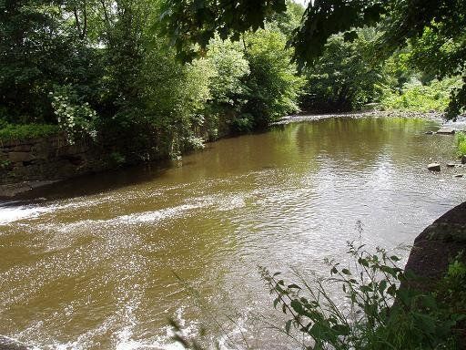
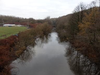
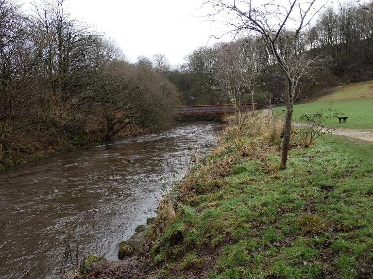
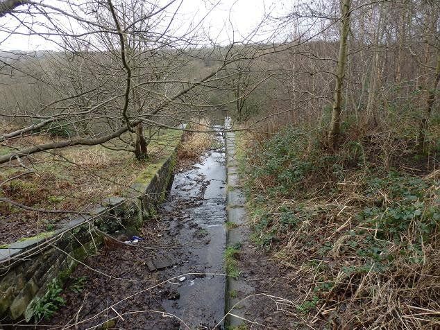
The Tonge is quite a bit larger than the Croal at this point and it is the Tonge which carries on in a straight line while the Croal meets it and flows into it.
Nevertheless, in times gone by it was seen fit for the combined flow to retain the name Croal.
This is the River Croal now augmented by the waters of the Tonge.
(C)WDC July 2013
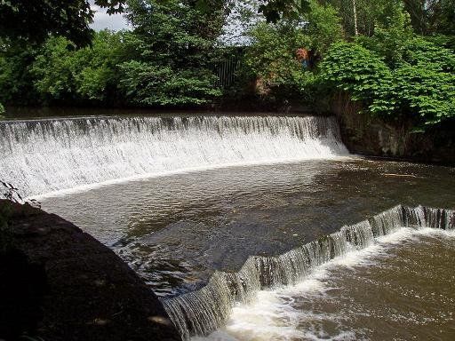
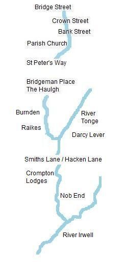
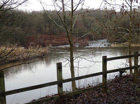
Immediately downstream of the confluence is a weir constructed to raise the level of the Tonge for industrial use.
(C)WDC July 2013
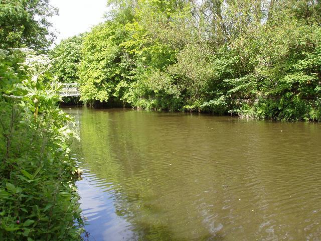
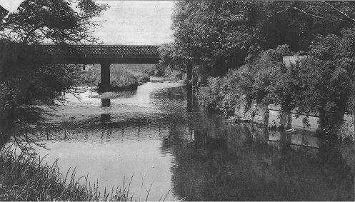
A little way downstream from here the Croal flows under Smith’s Lane / Hacken Lane (ex sewage works) (picture c1950). This is now part of the Moses Gate Country Park and a footpath from Hacken Lane will take you to Hall Lane and Crompton's Lodges.
Immediately upstream of Hacken Lane Bridge is Darcy Lever Cricket Club.
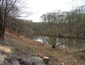
The Croal takes a loop round the Indian Cricket Club then passes under Hall Lane and to one side of the Crompton Lodges.
Typical views of Crompton's Lodges looking towards Moss Hall. This was the site of Crompton’s paper works (no relation to Samuel Crompton) on Hall Lane below Moses Gate which took all its water from the Croal (containing the Tonge).
Looking upstream from Hall Lane back towards Hacken Lane Raikes and Burnden. The gypsy caravan site is on the left. Off the picture to the right is the footpath through the woods to Hacken Lane.
(C)WDC January 2014
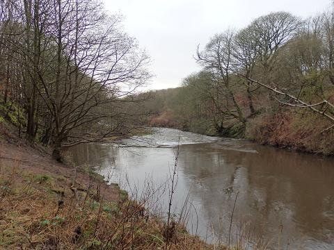
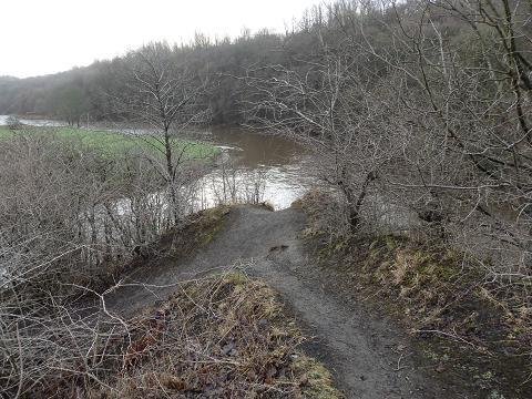
Looking downstream from Hall Lane, below Crompton Lodges (Moses Gate ) Country Park, towards Nob End and the Irwell.
(C)WDC January 2014
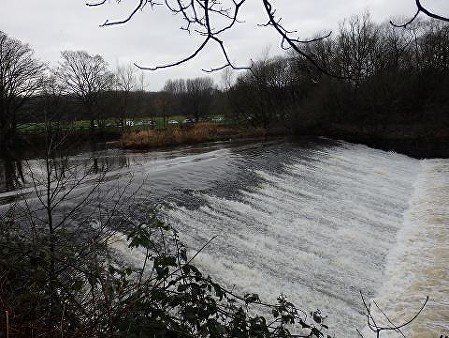
About 200 yards downstream from Hall Lane, close to Moss Hall is a weir which would have kept the river at a suitable depth for use by the paper mills. It now has a metering station to keep a record of the flow. These pictures in January 2014 were taken after a substantial amount of rain over some weeks. (C)WDC January 2014
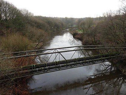
Our route continues along the river and over the bridge.
(C)WDC January 2014
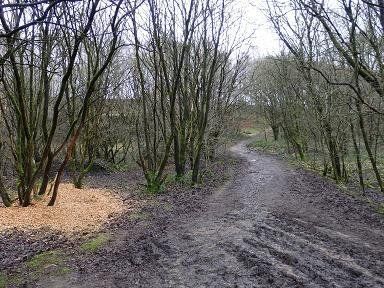
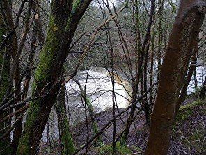
We continue downstream, a pleasant riverside walk.
(C)WDC January 2014
The river is behind us, this path going off to the left leads up to the Bolton Bury canal.
(C)WDC January 2014
And find another weir, hinting at an industrial past now long gone.
(C)WDC January 2014
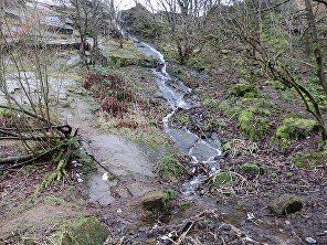
The little waterfall on our left comes from an overflow of the canal about 20 feet above us.
(C)WDC January 2014
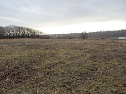
We suddenly reach an open area, looking towards Prestolee with Nob End to the left.
At Nob End a considerable amount of work has been done to clean up the devastation after the demolition of various industries. Careful work had to be done to make safe a chemical dump and the soil in that area apparently still has certain characteristics which has made it a suitable home for varieties of orchid not otherwise found locally. Is this the area contaminated with chemical waste allowing exotic plants to grow? No orchids to be seen in the third week of January.
(C)WDC January 2014
The path climbs up away from the river while the river passes over another weir and drops away quite quickly.
(C)WDC January 2014
The end of our safari. The Irwell flows from bottom left to top left. The Croal joins it at the corner flowing from bottom right.
(C)WDC January 2014
The Irwell flows through Salford then at one time across the south Lancashire plain to meet the Mersey somewhere in the area of Carrington.
However beginning in 1724, long before the Manchester Ship Canal, the Irwell was deepened and straightened to become the Mersey and Irwell Navigation System which provided a means of bringing moderately sized ships all the way across land from the Mersey near Widnes almost to the centre of Manchester. This waterway fell into disuse partly because of the construction of the Liverpool Manchester railway in 1830. However port fees at Liverpool and carriage charges on the railway increased to such an extent that merchants found it cheaper to import goods via Hull and in a bid to improve trading conditions in Manchester the Manchester Ship Canal was built. It used parts of the original Irwell Navigation System at both ends but follows a more southerly route for much of its length.
In the present day the Irwell disappears ignominiously into Salford docks and its waters feed the Ship Canal. Even the Mersey becomes one with the Ship Canal near Irlam though it escapes again just east of Warrington and makes its own way down to the sea at Liverpool.
So water from Winter Hill and Rivington Pike collects in Red Moss and flows out from there past the BWFC Stadium. As the Middlebrook goes through Lostock and accompanies the railway through Heaton and Deane almost to the centre of Bolton. Its waters once provided power by wheel and steam as it makes its cobbled way through the town centre and curves round the Parish Church. At Church Wharf it supplied water for the canal which ran parallel with it through Burnden and Raikes to Nob End. As the Irwell, it continues through Clifton and Agecroft into Salford where it becomes part of the Manchester Ship Canal eventually emptying into the Mersey estuary and Liverpool Bay where this water finds its freedom at last to reach the Irish Sea and Atlantic Ocean.
POSTSCRIPT
A quick look upstream on the Irwell and to the Prestolee locks on the Manchester, Bolton and Bury canal where there is the curiosity of the Meccano Bridge.
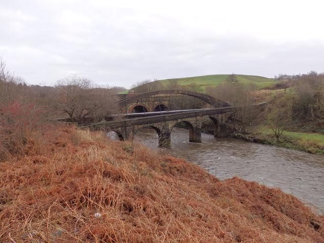
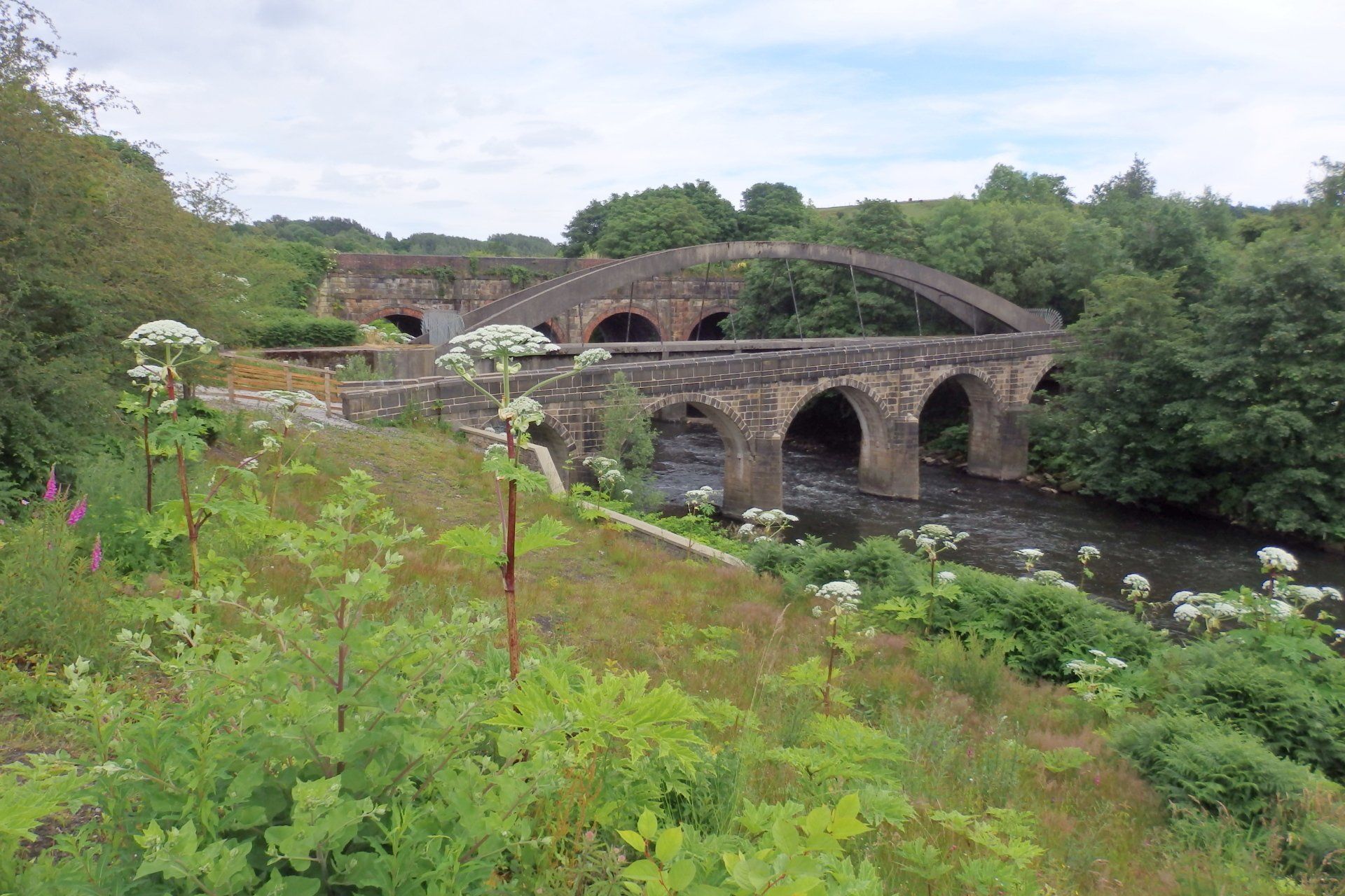
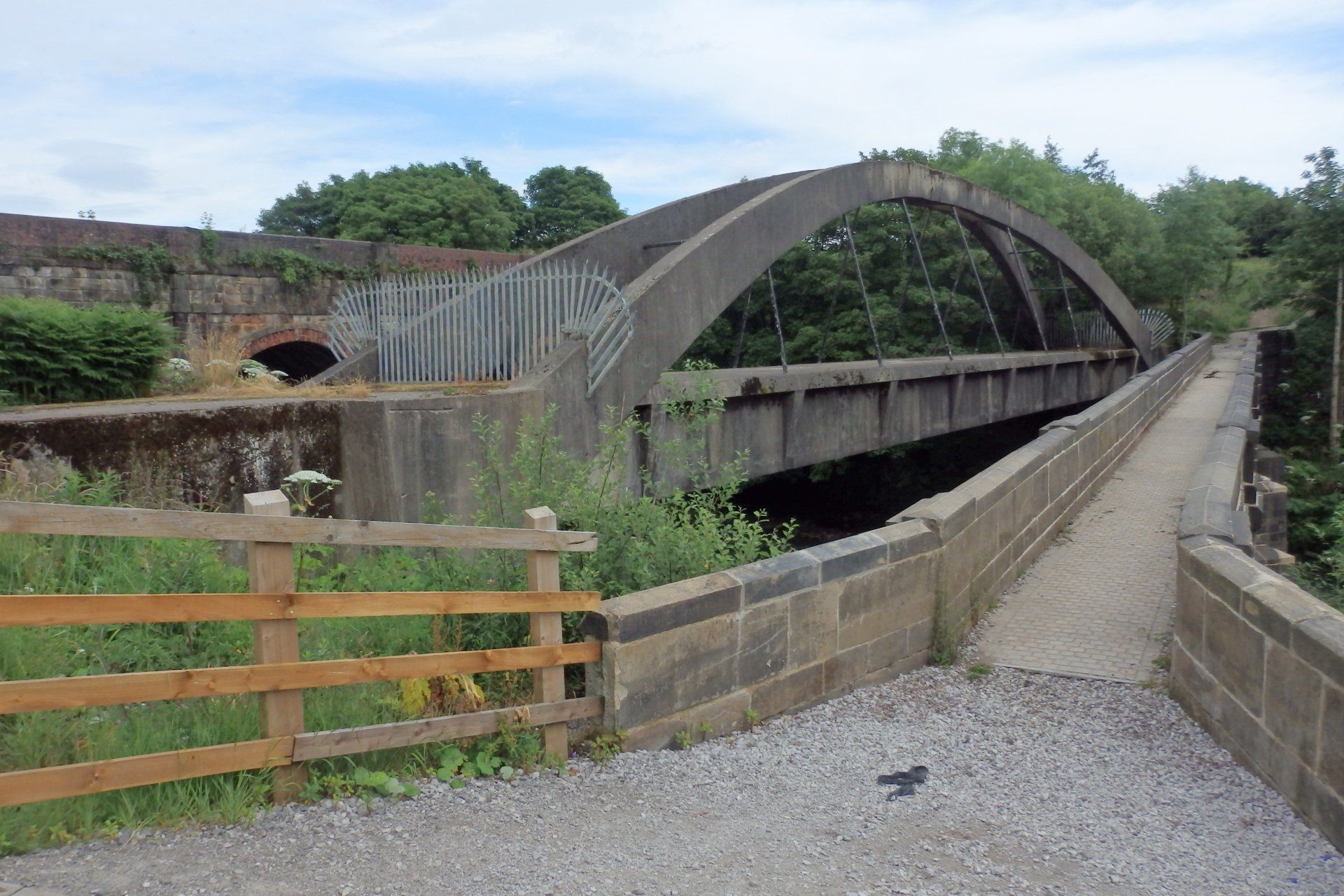
A few hundred yards up from the confluence we have three bridges over the Irwell. The closest to us is the ancient packhorse bridge. Then a bridge with a supporting arch carries sewage pipes from Hacken Lane to the Ringley sewage works. The more distant arched bridge carries the Manchester branch of the canal system over the river.
(C)WDC January 2014 and
(C)WDC April 2022
The packhorse bridge
(C)WDC April 2022
The Manchester branch of the canal system
(C)WDC January 2014
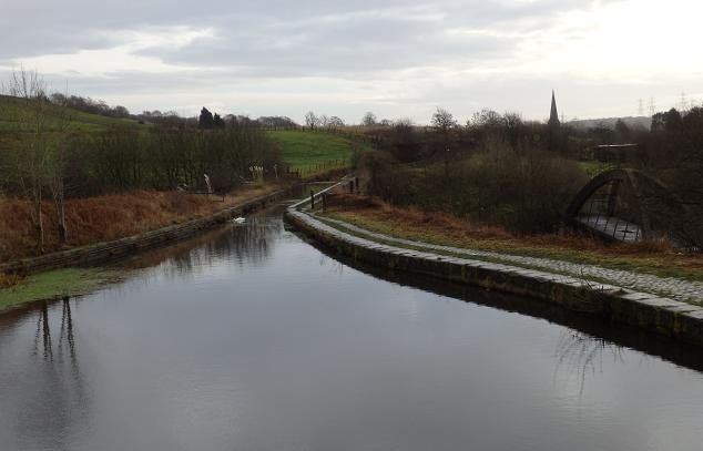
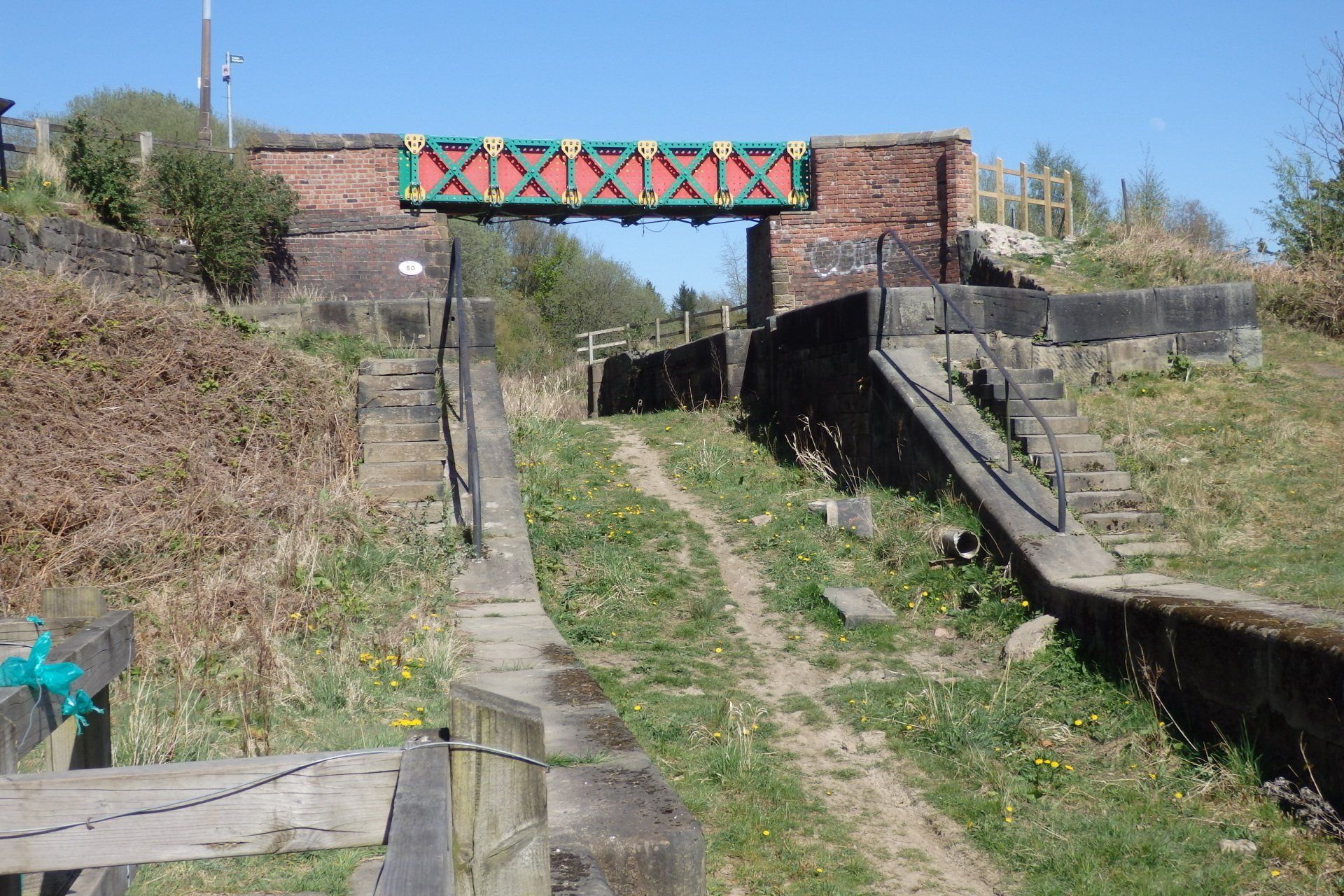
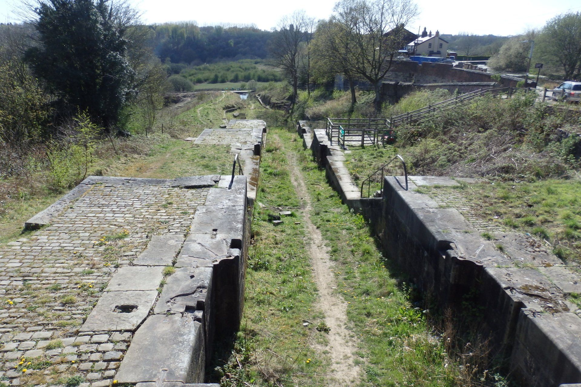
The Manchester branch of the Bolton, Bury and Manchester canal is around 30 feet below the level Bolton to Bury canal. A flight of locks, Prestolee locks (two "staircases! of three locks each) carried boats between the Manchester canal and the Bolton - Bury canal. Here we are looking up the top part of what had been the locks. The bridge at the top had been wood between the brick pillars but had become unsafe many years ago during which time residents of Little Lever and Kearsley campaigned for their link to be restored though its original purpose had been to allow horses to cross the canal from one towpath to the other. It fell apart after the canal became disused.
The need for a bridge coincided with Liam Curtin's being commissioned to produce an outdoor work of art in Bolton.
We look down the flight of locks from the meccano bridge. The canal is at present protested by the Salford, Bolton and Bury local authorities in their Unitary Development Plans.
A canal society was formed in 1987 and some restoration announced by British
Waterways in 2008. A lot of work has been done by volunteers who have removed tons of rubbish and the bushs and weeds that had completely hidden it from view.
Picture (C)WDC April 2021
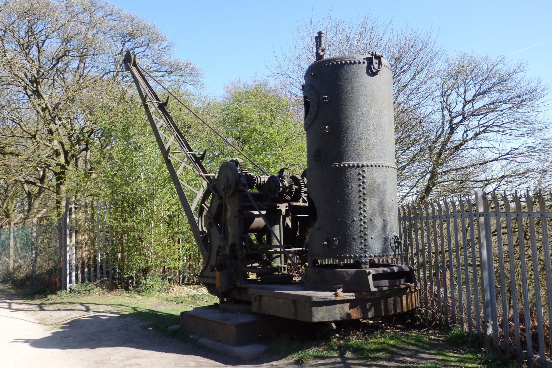

If you care to walk along the canal about a mile in the Bury direction you will find this steam crane abandoned many decades ago,
About a third of a mile of the canal is dry from the locks in the Bury direction. There was a severe breach in 1936 when the side of the canal fell thirty feet down into the River Irwell. This has never been mended. Some sections of the canal had become disused since 1924 and the canal was formally closed in sections in 1941, 1961 and 1966.
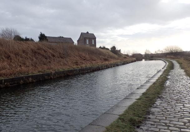
This is the Bolton branch of the canal looking towards Bury. The imposing house is Nob End.
And as we walk towards Bolton we pass the overflow which becomes the waterfall we saw earlier.

On the next pages we will look at Bolton's elephants. .Please click on the elephant.