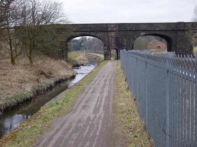
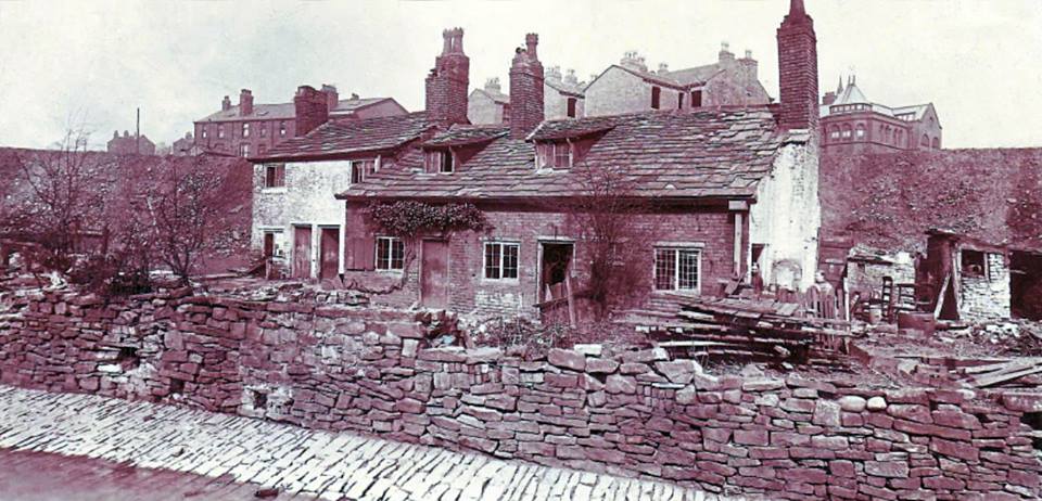
A quick look back to Ladybridge before we continue. (C)WDC March 2013
The Middlebrook and its towpath, looking downstream from Ladybridge towards Deane Clough. (C)WDC March 2013
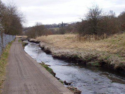
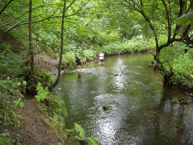
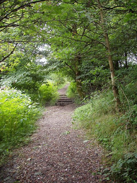
We continue downstream from Ladybridge with Deane Golf Club on our right. This was a favourite place for trying to catch sticklebacks with a net and a jam jar. Notice the slightly odd tree in the very centre of the picture..
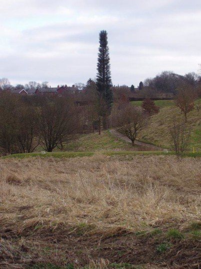
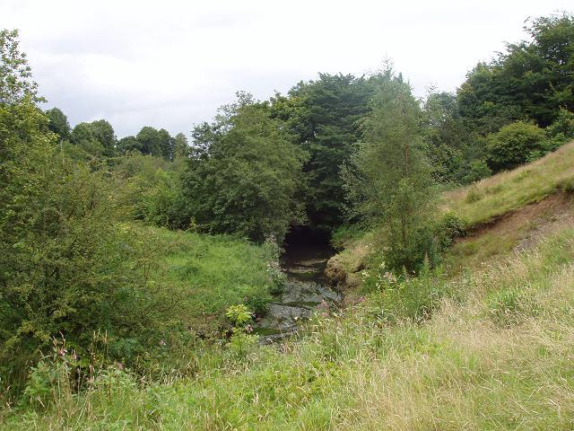
Almost at Deane Clough. The tree is now over to the right.(C)WDC March 2013
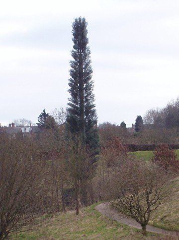
It isn’t a tree at all but a phone mast.
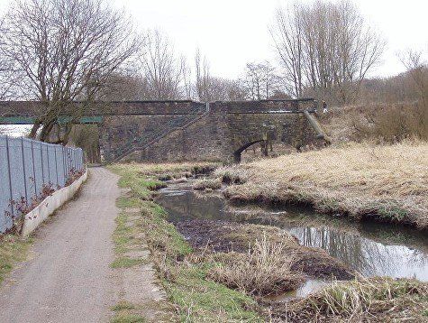
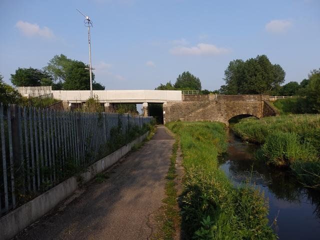
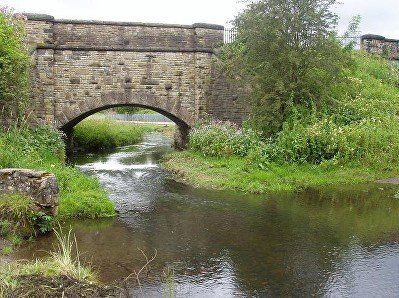
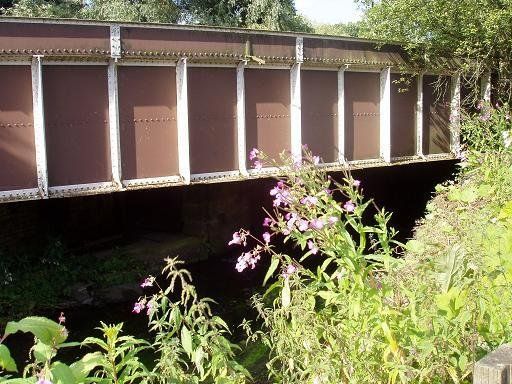
Deane Clough Bridge before and after rebuilding for electrification of the railway.
(C) WDC March 2013 and June 2016
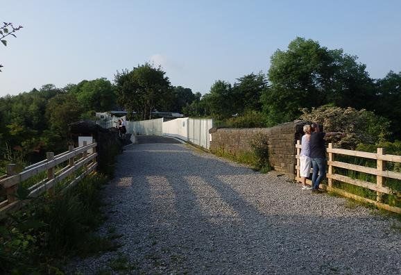
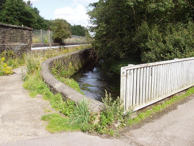
Looking north across Deane Clough bridge. What a mess they have made of it.


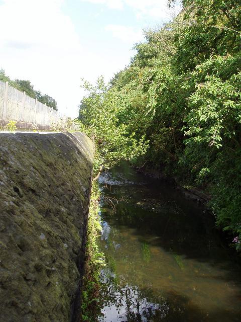
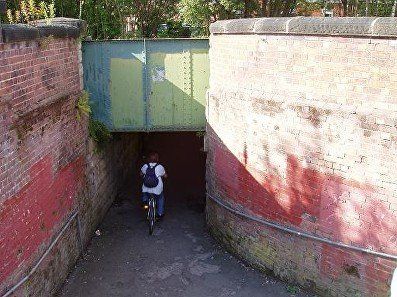
Deane Clough just off Junction Road. Path leads from beside Deane Church to the bridge and thence to Overdale and Chorley New Road
Himalayan Balsam, (Bobby’s helmets, Jumping Jacks), a pretty flower which is probably a garden escape from Victorian times. It is now an unwelcome intruder which can take over in a short time driving out all other plants.
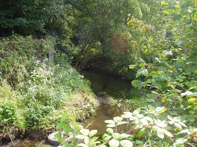
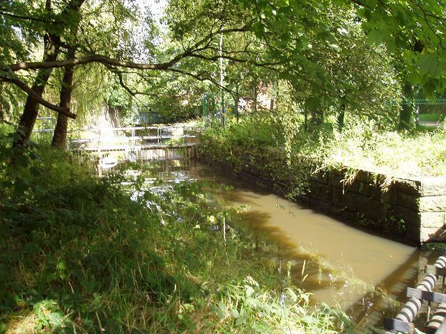
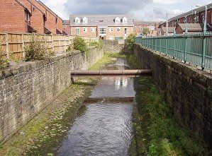
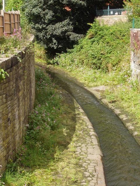
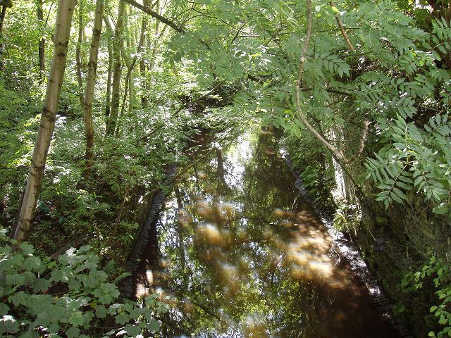
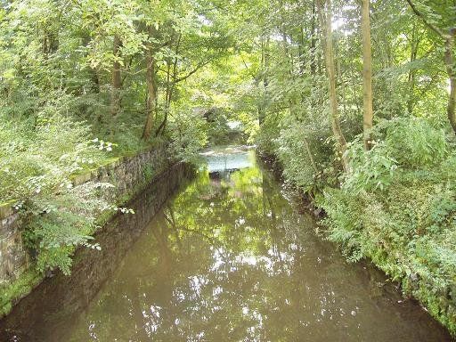
This little stream running down Deane Clough issues from a pipe. There is no sign of it on the other side of Junction Road; it disappeared under housing more than a century ago and is now probably fed by rainwater drains. It seems to have been known at one time as Kirkebrok (Church Brook) a name retained in Kirkebrok Terrace on Hulton Lane and Kirkebrok Road between Hulton Lane and Deane Church Lane. It is not named on an 1849 map but its sources can be traced. Even in 1849 it is partly below ground. One source runs from near New York for about 150 yards in a field between Junction road and Deane Road west of Smithy Hill. The other starts near Daubhill Station and flows northwest behind Deane Church Lane, then continues, crossing Hulton Lane more or less where Kirkebrok Terrace now stands, to disappear under Wigan Road before reappearing in Deane Clough. When Dove Mill was built this stream was made to flow into the mill lodge then out again to follow its original course.
A Victorian framed picture of Deane Church with the tower of St Mary, Deane peeping over the trees. This area has changed very little since then except that trees have grown considerably so that this precise view can no longer be obtained. c1880
Click on the above button for more information about and pictures of Deane Clough.
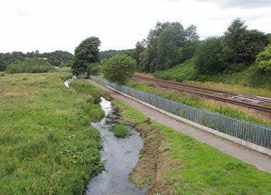
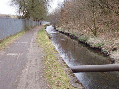
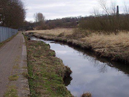
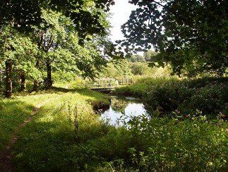
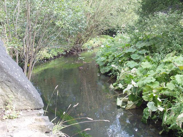
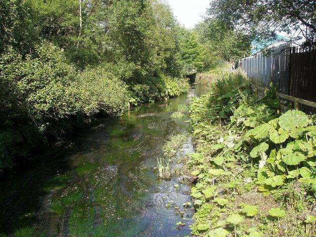
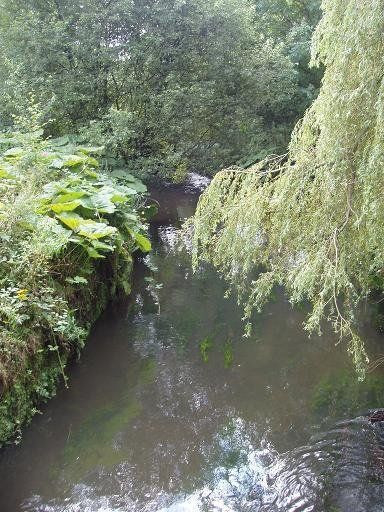
Looking upstream (west) from Deane Clough Bridge
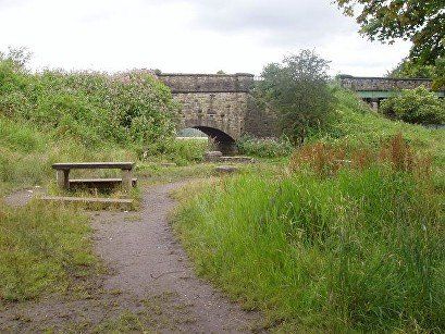
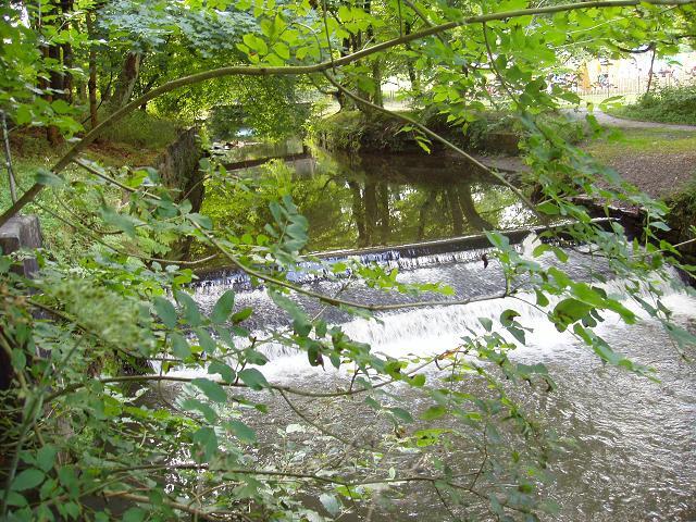
A pool just below Deane Clough Bridge.
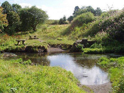
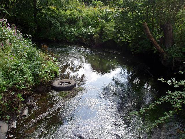
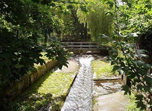
Tables have been provided to make a pleasant place for a picnic. It’s a safe place for a paddle and a splash around as well and can get quite busy on warm days in the summer. There is the appearance of a ford here and there must have been a crossing point close by but the bridge has been in place probably since the Bolton, Chorley, Preston railway was built in 1845 so the bare earth we see now is perhaps just the result of people and dogs entering the water for a paddle.
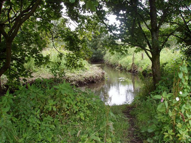
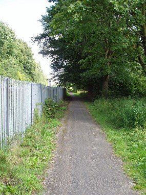
From here you seem to have two choices, you can follow the good path which carries on in a straight line along the railway or you can take a less good path following the river off to the right. Let’s try that one.
.
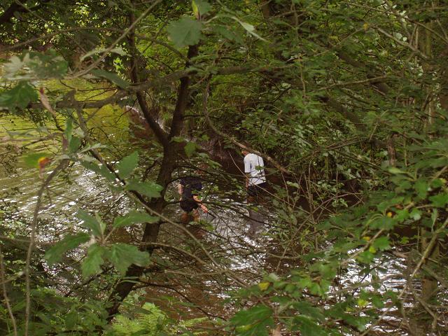
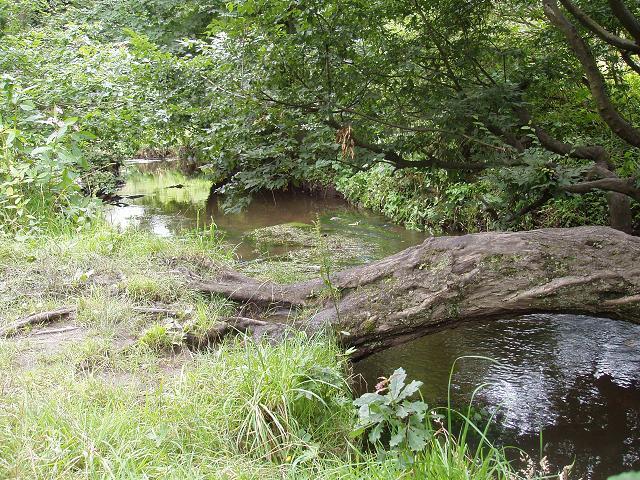
But this pleasant path with the ducks and the local lads splashing about after fruitless attempts at fishing eventually leads you up to the right and away from the river bringing you into the field below Haslam Park. The Thornbank flats and the Croal Mill can be seen.
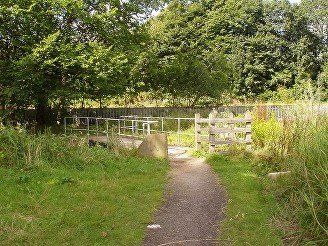
So it's back almost to Deane Clough Bridge and over a footbridge onto the path which goes along the side of the railway.
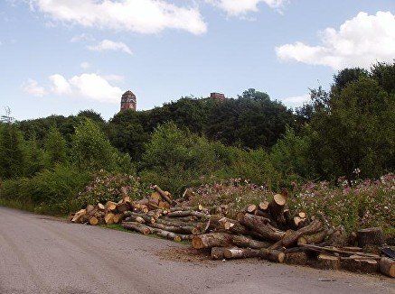
The path passes allotments (known by some locals as t’ pig pens) not many of which are still in use for the original purpose, but some of them still have uses like this huge pile of chopped trees. The Croal Mill towers above us. At this point the river is far over to the right at the back of the allotments and although it can be accessed here and there it is not possible to walk along it. The river winds round a large arc creating quite a substantial cliff just below the Croal Mill but eventually meanders back to the path to continue its liaison with the railway.
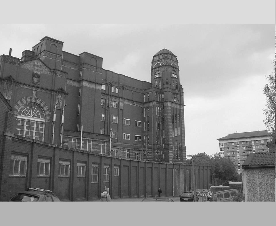
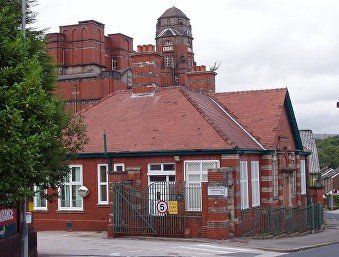


Croal Mill towers above us at this point. It was built in 1908 by Bradshaw and Gass. It closed as a cotton mill in 1967.It is a Grade II listed building. Its address is Blackshaw Lane which runs off Deane Road and is where its gatehouse is, but access is now normally by a wide driveway off Deane Road probably necessitated by its use post 1967 by a mail order firm.
Blackshaw flats can be seen beyond it. The area between here and the river is known as the Pocket.
Having done its tour of the allotments the river eventually meanders back to the path. (C)WDC August 2012
The bridge goes to the Blackshaw flats
Then the river meanders away to the south once again.
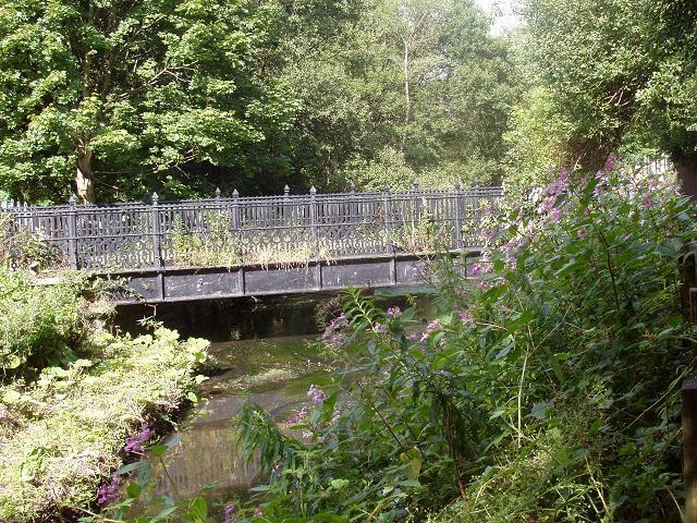
... but then honours us with its presence again as it passes under this rather ornate Victorian foot bridge.
but after a short distance.......
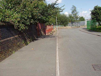
The path joins Randolph Street, between Gilnow Lane and Board Street (right and up to Deane Road at the Pikes Lane Medical Centre). Then in a couple of hundred yards ..
...to come out at the top of Spa Road
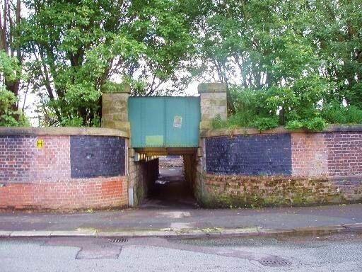
...it parts company with us once more by diving underneath the railway..
...we too can go under the railway ....
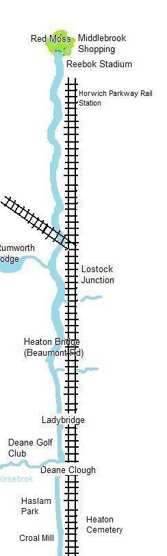
We must go back upstream a little way now, to the right on the picture immediately above, to catch the Middlebrook as it emerges from under the railway and as it starts its even more engineered path towards and through the Town Centre. It is around here that the Middlebrook becomes the River Croal though the precise spot at which this happens is not determined.
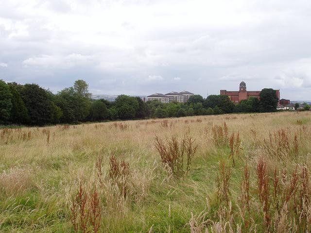
It looks quite countrified at this point, but the bottom corner of Heaton Cemetery is just about 200 yards right and forward of the viewpoint of this picture and Gilnow Lane Primary School is just over to the right. Rural, idyllic, but all that is about to change.
Lots of overhanging trees but the River is now well controlled in its cobbled bed as we approach Gilnow Mill.

We reach the area at the top of Spa Road opposite Gilnow Mill and we see the start of where the river has cobbled banks and bed.
The paving of the bed of the Croal was one of the most important works of Henry Baylis (1824-74) who was appointed Borough Surveyor for Bolton-le-Moors in 1854. The river prior to this work had been to all intents and purposes an open sewer running through the centre of the town.
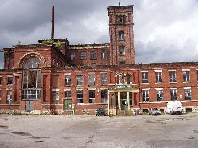
The mill, like all the other survivors of the cotton age is no longer used for its original purpose but is home to a number of small industrial units.
There was a fire here in 2013 shortly after this picture was taken but no serious damage to the mill’s structure was caused.
(C)WDC August 2012...
<<<Alongside Back Spa Road
It now becomes very urbanised. Bolton might have been famous for cobbled streets but it has a cobbled river as well
Below from Back Spa Road the Croal turns along Back Tavistock Road.
(C)WDC August 2012....
and then flows alongside the appropriately named Croal Street but the river is inaccessible. In about 100 meters it reaches the Park Road Bridge.
(C)WDC August 2012
This was the view in around 1890 from the position of the previous picture. The far houses are the backs of houses on Park Road immediately up from Mayor Street. The rather ornate building towards the right is the Chadwick Museum which opened 1884 and is just within the boundary of Queen's Park as Park Road bends to the right. The houses in the foreground were already missing from the 1891 OS map The 1849 map marks this position as the hamlet of Lower Gilnow.
This is the view looking upstream from Park Road, so this is the jungle behind those railings on Croal Street....
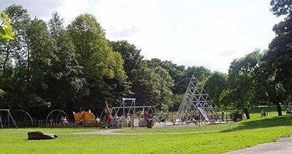
Looking downstream from the Park Road bridge. Queen’s Park is on the left and immediately through the trees is the new children's playground There is a pleasant path along the river on the right....
(C)WDC August 2012
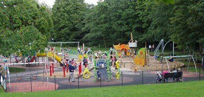
The new (2011) children's playground. The Croal is through the trees on the right.. (C)WDC August 2012
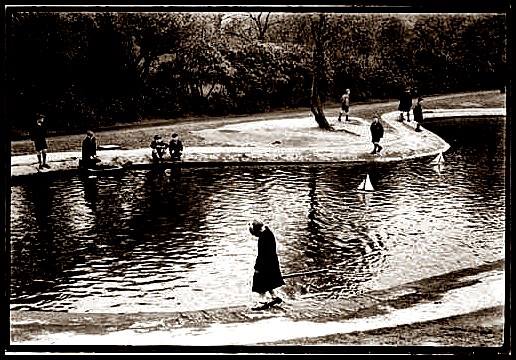
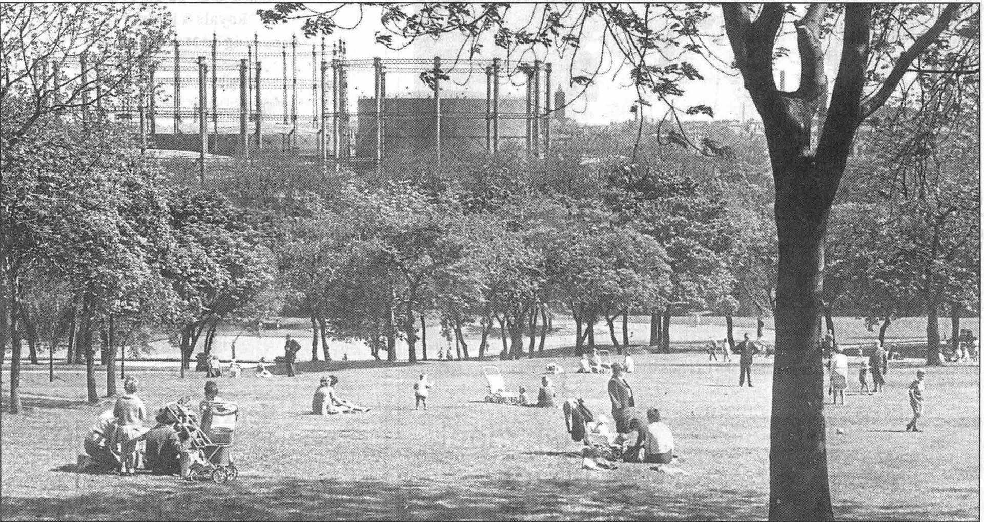


Old pictures of the bottom end of Queen's Park. The river is immediately beyond the trees half-hiding the gasworks....
We seem to have a girl walking on her own while her brothers sail their boats.
A busy Spring or Summer afternoon.
One lonely boat sailor, mum or dad is keeping an eye on things with the gas works in the background.
A sunny Summer day in 1950 the paddling pool was very popular
I do not remember an island in the middle of the paddling pool.
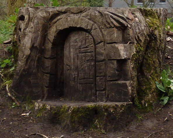
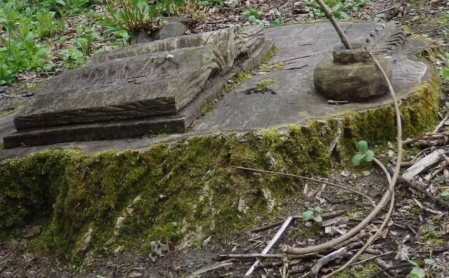
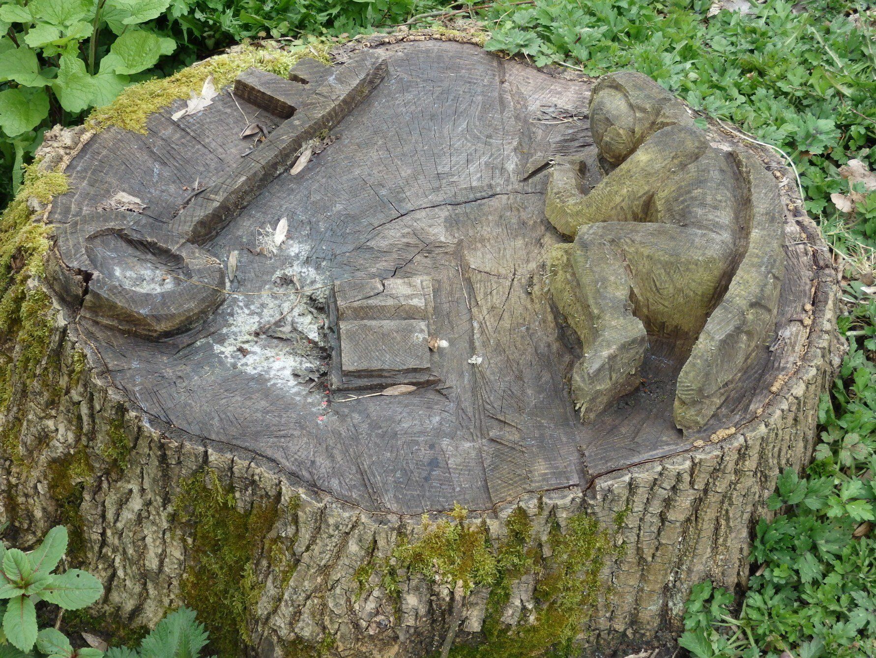
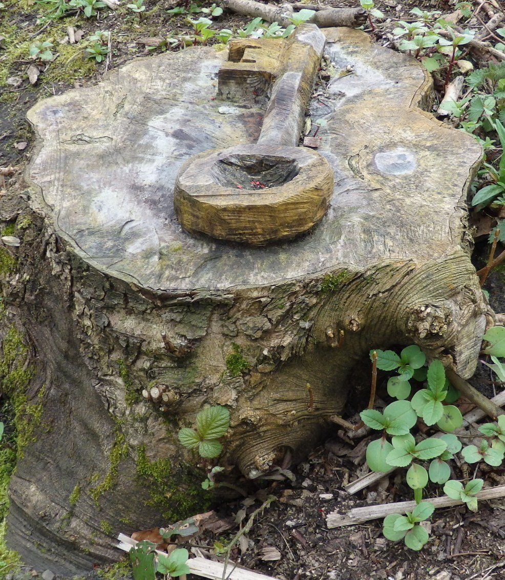
On the south bank of the river are a series of tree-trunk carvings - A secret entrance - a traditional "green man" - a book, inkpot and quill-pen - a key - an angel with another key and another book (gate-keeper of heaven?). There are no notices indicating why they have been placed here or when, but I think it is later than Spring 2013.
They have featured in the INGRESS game, a worldwide smart phone / GPS challenge to locate and claim "power portals".

eventually at the south east corner of the park we reach the Dobson Bridge.
On the next page we continue along the River Croal as far as Central Street in the centre of Bolton
There is now a path down both sides of the river as it flows along this edge of Queen’s Park and that is where we now continue our stroll.
There are a number of weirs to raise the level of the river because for the next mile a number of mills used to extract water. We glance upstream, Park Road bridge to the left and the playground to the right are visible through the trees.
.(C)WDC August 2012